Photos of Nathia Gali.
Nathia Gali, located at 2,500 m (8,200 ft) height from the sea level, is a hill station in Hazara Division, Khyber Pakhtunkhwa Province. It is at two hours drive away from Islamabad. It is famous for its scenic beauty, hiking tracks and pleasant weather. It is situated at one hour’s drive away from both Murree and Abbottabad, lying midway between these two places.
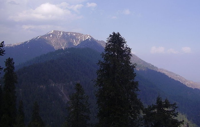
“Mukshpuri” and “Miranjani” are the two nearby high peaks both of which are favourite for hikers. The Mukshpuri track is wide and easy to hike. The Miranjani track, is a bit more difficult as it has steeper height and the track is narrow at some places. Both of these peaks could be reached within 2 to 3 hours by hiking.
Nathia Gali has been declared a wildlife sanctuary by the Government. Monkeys, leopards and variety of other birds and animals are common in the forest surrounding Nathia Gali. Monkeys foraging on trees is not an uncommon sight in Nathia Gali.
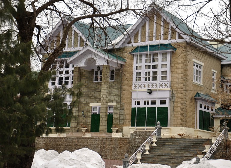
Governor House at Nathia Gali
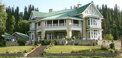
Governor House Nathia Gali. Photo by Asif Saeed.
A View of Miranjani Peak from Nathia Gali. Miranjani track is a bit more difficult as it has steeper height and the track is narrow at some places. The Miranjani Peak could be reached within 2 to 3 hours by hiking. Photo by Khalid Mahmood.
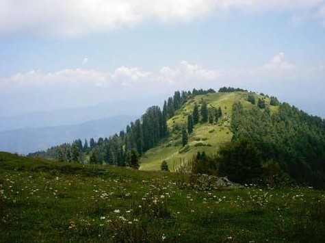
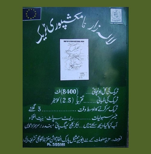
Mukshpuri Peak Nathia Gali during Summer. Mukshpuri is a 9,200 feet high mountain in the Nathia Gali Hills where one can reach by trekking either from Nathiagali trek or Dunga Gali trek. It is just above Dunga Gali in the Nathiagali area of Ayubia National Park. The route from Nathia Gali on western side of mountain is a steady and 2.5 kilometers long climb and it will take about 2 hours. The route from the Dunga Gali side has a steeper slope. There is a bird sanctuary on this side created with the help of the European Union. From the top of Mukshpuri peak one can see Circle Bakote, Jhelum River, the Bagh District of AJK, in the south the city of Murree and the Murree Tehsil, as well as Islamabad.
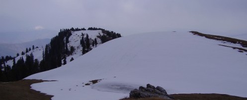
Mukshpuri Peak Nathia Gali during Winter
Information Board, from Lalazar Wildlife Park to Mukshpuri Trek, Nathia Gali
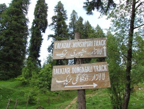
A Board giving Direction to Lalazar Wildlife Park and Mushkpuri Track
A Welcome Board at Lalazar Wildlife Park Nathia Gali
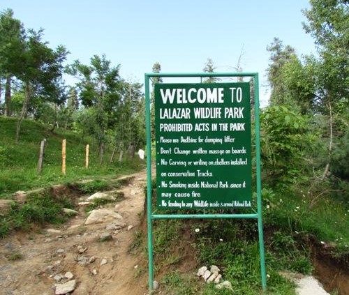
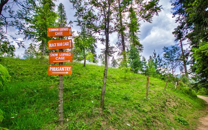
Signboards at Lalazar Wild Life Park, Nathia Gali
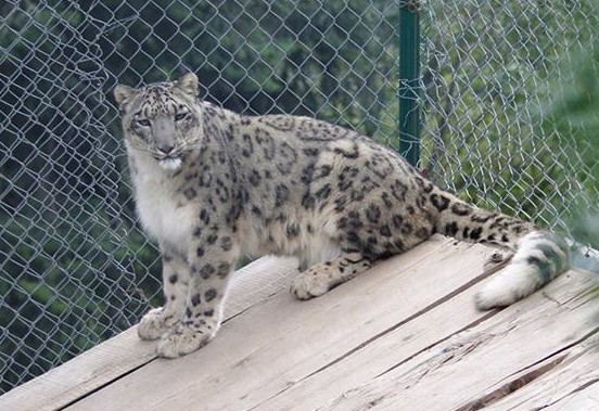
Snow Leopard at Lalazar Wildlife Park Nathia Gali. Photo by RasheedFR.
Monkey Spotted near Nathia Gali. Photo by Umar Hassan Cheema, 14 Apr 2012.

Playful Baby Monkey Enroute Nathia Gali. Photo by Sarosh Farooque, 18 September 2012.

Photos of Nathia Gali: Snowman ‘Shrine’ near Nathia Gali. Photo by Umar Hassan Cheema, 23 Apr 2012.

Photos of Nathia Gali: Enroute Nathia Gali. Photo by Sarosh Farooque, 16 September 2012.

Photos of Nathia Gali: Low Clouds at Kalabagh, Nathia Gali. Photo by Sarosh Farooque, 16 September 2012.

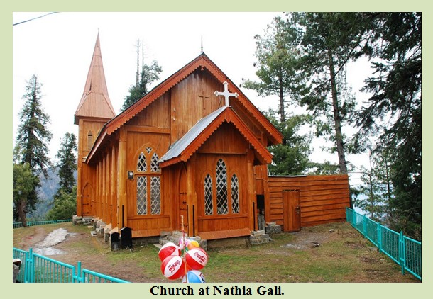
Photos of Nathia Gali: St. Mathew’s Church at Nathia Gali. St. Matthew’s, a remnant from the British period and made entirely of wood. It is situated at the edge of the mountain with a nice panorama towards Kashmir. Photo by Saleem Shahid.
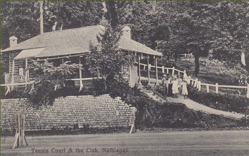
Photos of Nathia Gali: Tennis Court and the Club, Nathia Gali
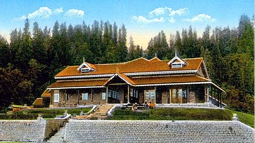
Photos of Nathia Gali: Governor House Nathia Gali, 1910
Related Pages:
Photos of Abbotabad
Photos of Chitral
Photos of Kaghan
Photos of Naran
Photos of Swat
Editor’s Note: If you have liked this post (Photos of Nathia Gali), then please share it on Facebook, Twitter or any other social media. Please also write your brief comment at the end of this page under the heading “Leave a Reply here”.
 Large Visitor Globe
Masha Allah, very nice.
Very beautiful photos.
Beautiful, a piece of Heaven.
Nice pics of Nathia Gali.
I like this web page very much because this page has added much more in my information!!
Good effort, but it dose not cover the entire beauty of Nathia Gali, and a lot of beautiful places are missed i.e Governer House, peak of Lalazar etc. However well done.