Photos of Lower Dir.
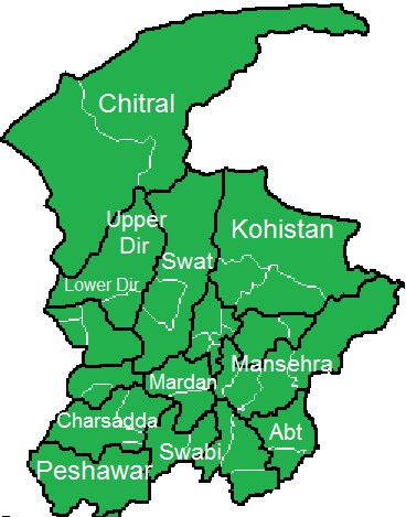 Lower Dir is a district of Khyber Pakhtunkhwa Province, Pakistan. The district was formed in 1996, when the district of Dir was divided into two districts; Upper Dir and Lower Dir. The district is administratively subdivided into two Tehsils; Samar Bagh and Timargara.
Timargara, located on the east bank of the Panjkora River, is the district headquarters of Lower Dir District. The name Timargara is derived from the king Timur and formally it was called Timurgarh and then it changed into Timargara. It lies at an altitude of 823 metres (2,700 ft). Most of the main city lies on the bank of the Panjkora River, which separates Balambat from the main city. The Panjkora River rises high in the Hindu Kush and joins the Swat River near Chakdara, Malakand. Its name is derived from the Persian for ‘panj’ (meaning ‘five’) and ‘kora’ (meaning ‘river’).
Timargara town is the site of excavated graves of Aryans, dating from 1500 to 600 BC. On the West side of the Panjkora River is the excavated site of Balambat. The site has been occupied continuously since the time of the Aryans in 1500 BC. Discoveries included houses dating from 500 BC and fire altars, showing that the people were fire worshipers. Please also see Brief History of Upper Dir District
The travel from Timargara to Upper Dir is breathtaking, the road exactly follows the Panjkora River. The villages in the middle are Danwa, Rabat, Khal, Wari and finally Upper Dir.
Prayer Timings in Timargara: Please click this link for the Prayer Timings in Timargara.
Aerial View of Timargara City
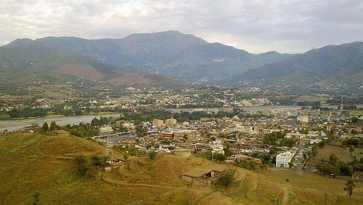
A View of Timargara City
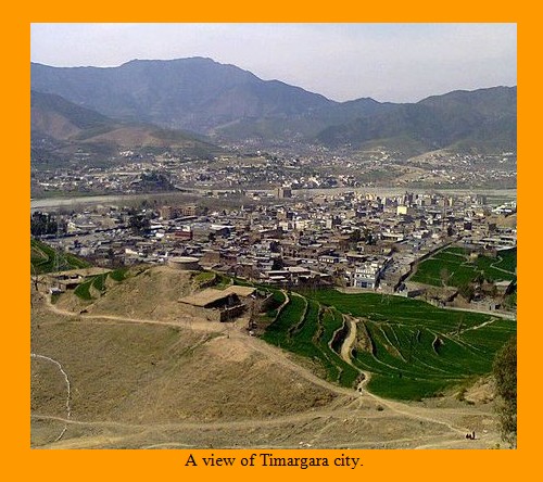
Timargara at the bank of Panjkora River
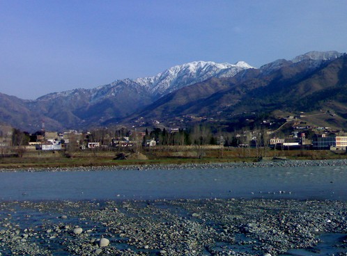
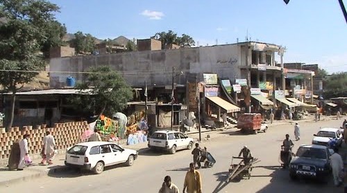
A Scene of Bazaar at Timargara. Photo by Javedyousafzai Khan.
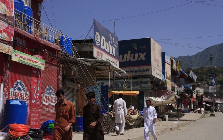
Another Photo of a Bazaar in Timargara. Photo taken by amjadkh on 11 March 2011.
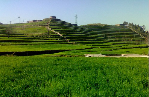
Fields near Timargara
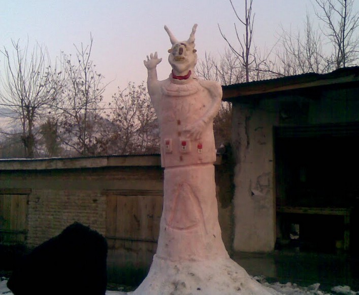
A very tall Snowman made by locals at Timargara. Photo taken by amjadkh on 18 January 2011.
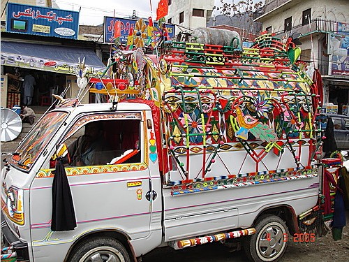
Public Transport (A Decorated Van) at Timargara. Photo taken by Hector Salazar on 26 May 2007.
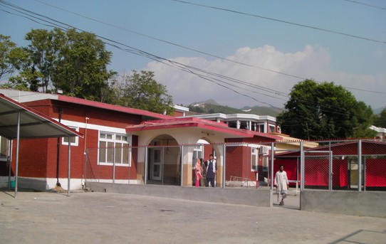
DHQ Hospital, Timargara
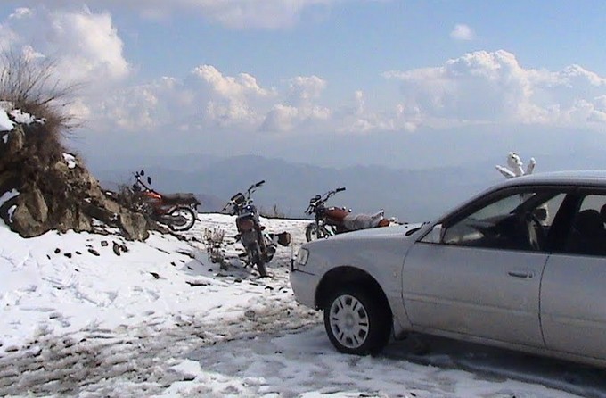
Snowfall at Laram Qilla, Lower Dir. Photo taken by amjadkh on 21 January 2010.
Breathtaking View of Rabat, Lower Dir. Photo by amjadkh.
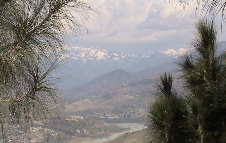
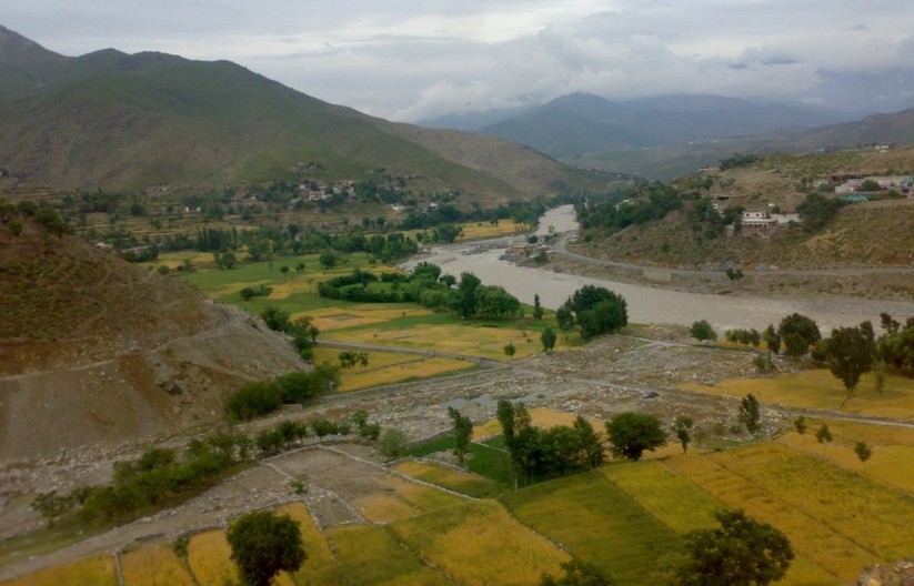
A Panoramic View of Khal, Lower Dir. Photo by MUNIR KHALI -khall d.
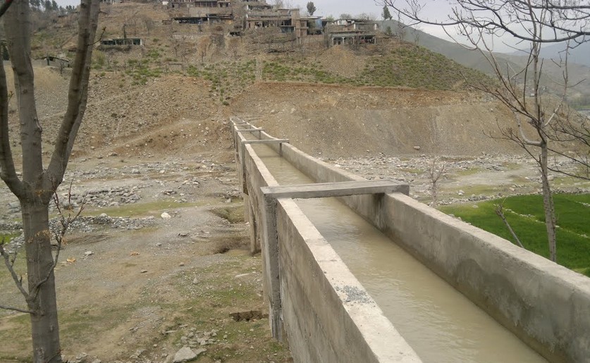
Photos of Lower Dir: A Water Channel in Khal, Lower Dir. Photo by MUNIR KHALI -khall d.
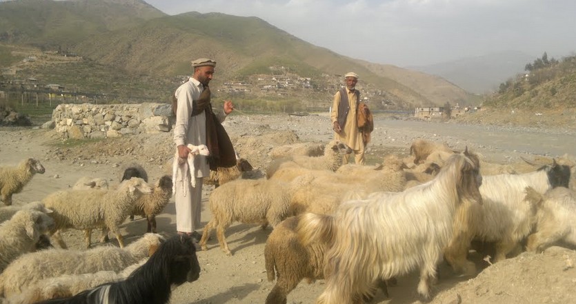
Photos of Lower Dir: Herdsmen with their Sheep at Khal, Lower Dir. Photo by MUNIR KHALI -khall d.
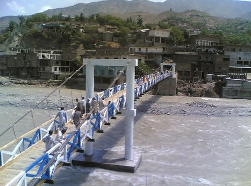
Photos of Lower Dir: A Bridge at Rabat Kotkey Bazar, District Lower Dir
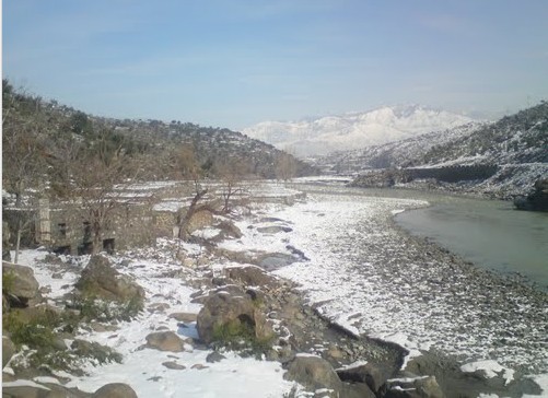
Photos of Lower Dir: River Panjkora during Winter at Sadiq Abad. Photo taken by sajid599 on 05 July 2010.
Related Pages:
Photos of Upper Dir
Photos of KPK
Editor’s Note: If you have liked this web post ( Photos of Lower Dir), then please share it on Facebook and Twitter or any other Social Media.
Visitors of this site can send their photos of Lower Dir to Editor at: nativepakistan@gmail.com
Please also write your brief comment at the end of this page under the heading “Leave a Reply here”.
 Large Visitor Globe
You really put in a lot of hard work to post such informative material.
Fascinating article. Loved reading about the historical development of the Lower and Upper District Regions, along with great pictures. The Timargara fields look very much like the Cahokia Mounds (Native American Sacred Hills) near Southern Illinois, just across the river from St. Louis, Missouri. I wish the Timargara fields remain beautiful and unspoiled. Are there planned archaeological excavations? Thank you so much!!